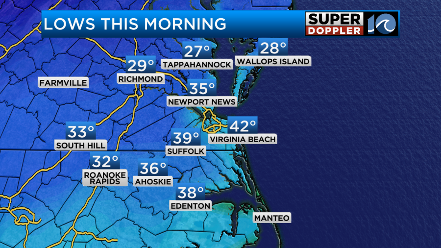
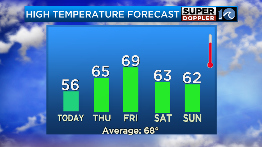
This morning was chilly, but it was downright cold (for mid-April) in some of our inland locations. There were a couple of upper 20s in Wakefield and Tappahannock. It was in the low 30s in Chesapeake.
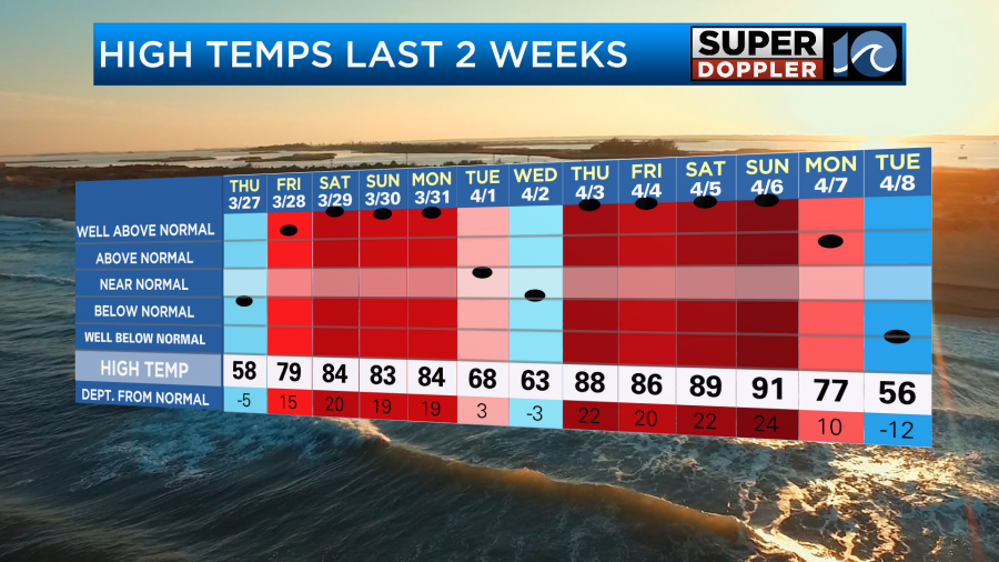
Colder air has poured into the region after a pretty warm 2 weeks. Yesterday high temps were only in the 50s.
We’ll have another cool day today. High temps will be in the mid-upper 50s.
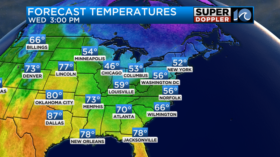
It will be a little cooler near the shore and a little milder inland.
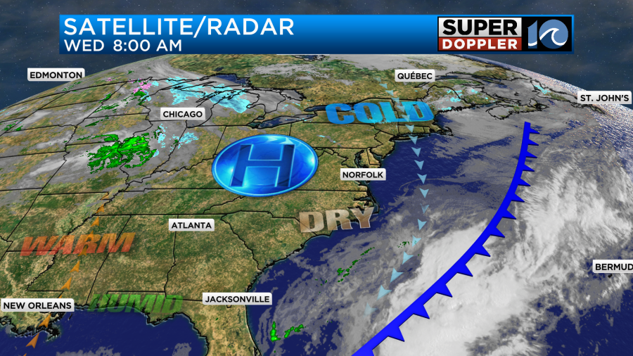
High pressure is building into the region with a cold front pressing to our southeast.
Tomorrow high pressure will be moving just offshore. We’ll develop a breeze out of the southeast. We’ll have a mix of sun and clouds, but I think the bulk of the day will be partly cloudy. This should allow us to warm up a bit. High temps will aim for the mid 60s.
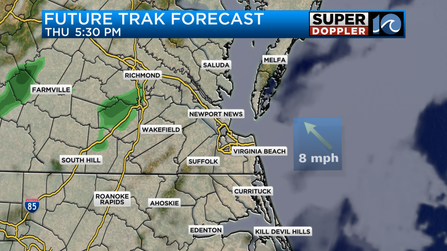
Most of the day will be dry, but the moisture will increase by late in the day. There may be some isolated showers in the region, but for now I only have the chance for rain at 20%.
By Friday the moisture will increase quite a bit.
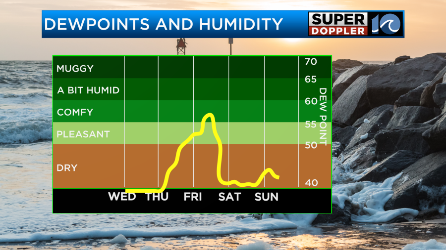
I wouldn’t call it “muggy” by that point, but it will definitely be more humid. We’ll also have an area of low pressure with a couple of fronts moving in. There may be a few showers in the morning, but our model has a break for a time.
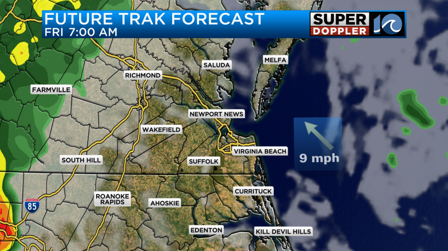
The other models are starting to show that AM break, but they all have a lot of rain by the afternoon.
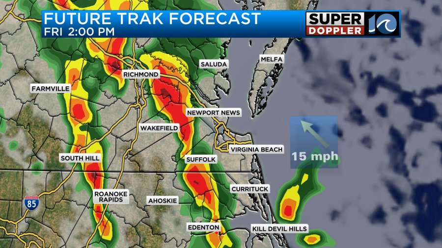
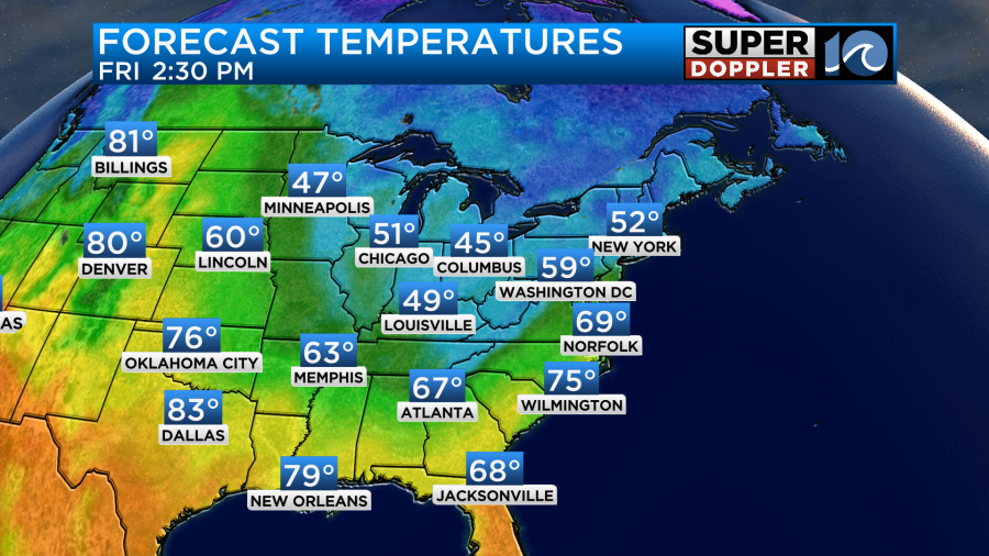
Temps will warm up to the upper 60s as our winds will pick up out of the south.
Temps should stay in the 60s over the weekend.
After some scattered/lingering showers Saturday morning we should dry out for the rest of the weekend. I will say that there may be an upper-level low later Saturday that could swing through the region. That might create some spotty showers or sprinkles in the afternoon. However, the surface should be very dry. So we’ll see.
Meteorologist: Jeremy Wheeler