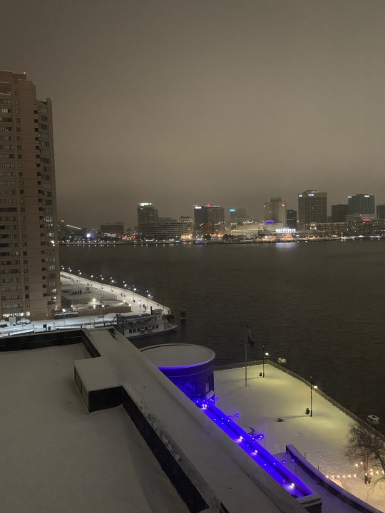
Well….Anyone that said yesterday that “They’ll believe it when they see it”… Believe it! We had a lot of snow fall over the region as expected. Amounts were hefty. Roads are covered. This was my view from my hotel in Portsmouth before I headed to work.
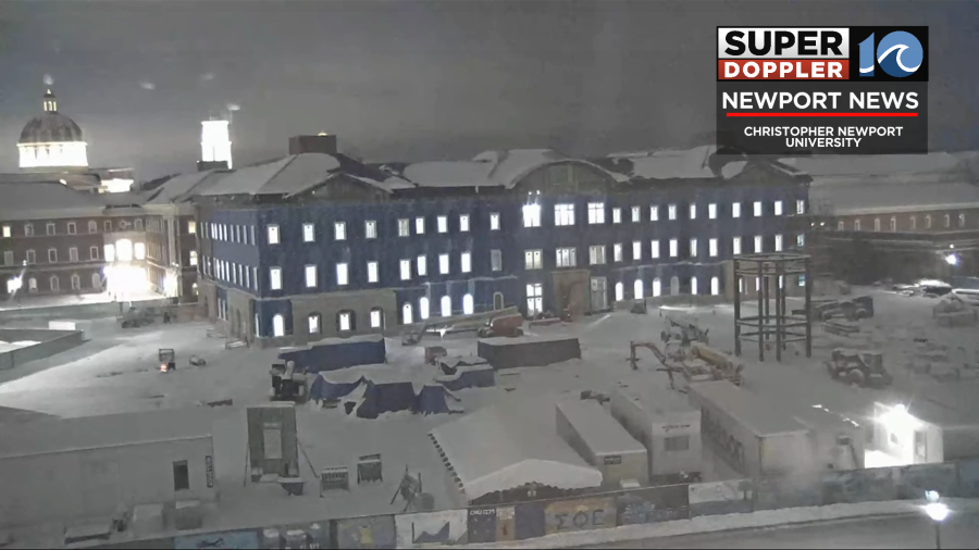
This was the view from our camera at Christopher Newport University.
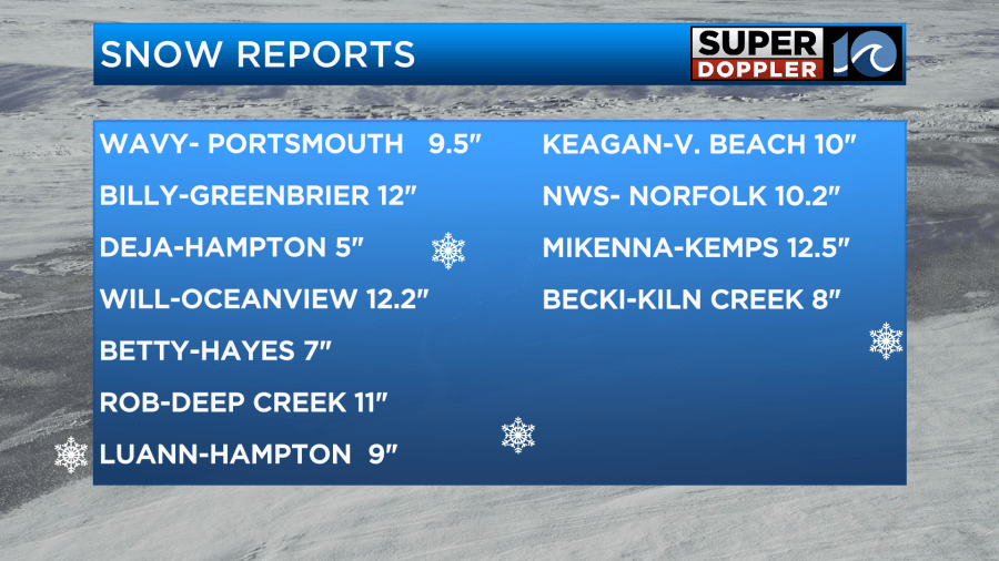
Reports are coming in. Many locations had 8-11″. There have been some isolated reports of 12-13″.
Here is my snow forecast from yesterday.
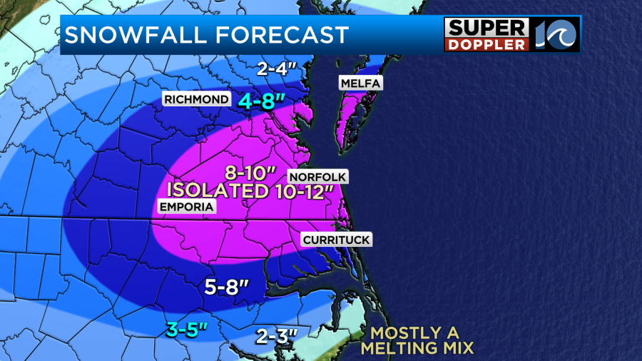
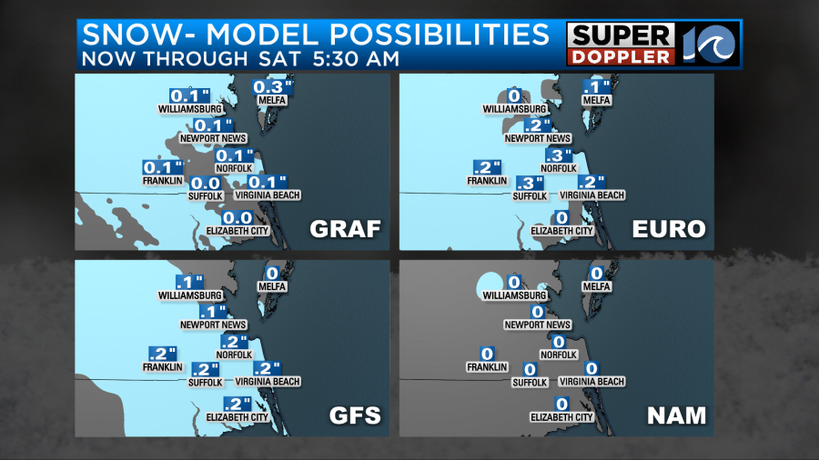
So far it seems like it was a pretty good forecast, but there were definitely some higher and lower spots. I’ll put out a map later this morning of “What Fell”.
The low that caused the snow has moved out to sea.
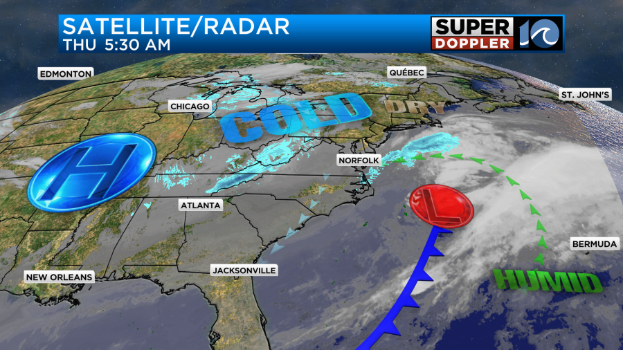
We’ll have some quiet weather for a while. Then a small upper-level disturbance will roll through this afternoon. It will create a few more snow showers.
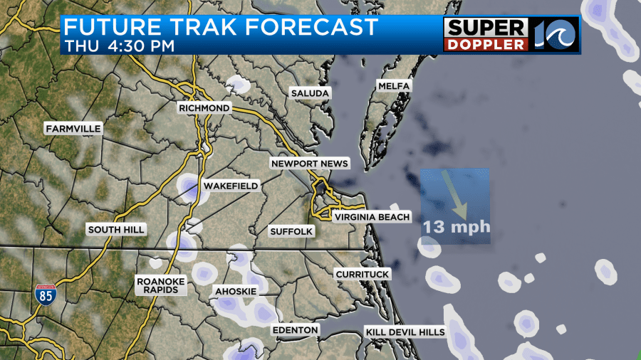
These should be scattered and light. There likely won’t be much additional snow, but about another tenth of an inch up to a half inch is possible.
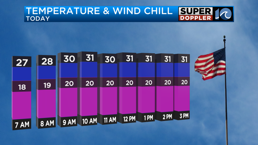
That shouldn’t be much of a problem, but the bigger problem will be that the snow on the ground will be blowing around and drifting. One other thing that will be a problem is the cold. High temps will only be in the low 30s this afternoon. Wind chills will be in the teens and 20s.
This is just a quick blog. I’ll put a bigger box later this morning.
Meteorologist: Jeremy Wheeler