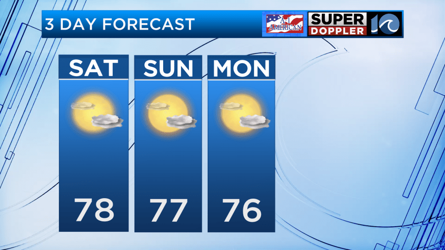
Happy Saturday! Labor Day weekend is going to be fantastic with our Fall-like weather continuing.
A weak cold front is passing through this morning, then high pressure slides in right behind it. This will mainly just reinforce our cool, dry air. A stray shower is possible across the southern Outer Banks and mainland Dare county, but mostly everyone will stay dry. Expect a mix of sun and clouds and a light breezy of north-northeast winds 10-15 MPH. High temperatures will be in the upper 70s with no humidity.
This same weather continues the entire holiday weekend. We’ll be breezier on Labor Day and slightly cooler in the mid 70s for highs. Still nice and dry with sun and clouds.
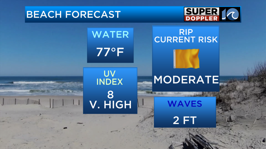
If you’re going to the beach, we do have a moderate rip current risk this weekend and 2-3′ waves.
Much of the same weather lasts into the workweek. Our weather pattern starts to shift Thursday.
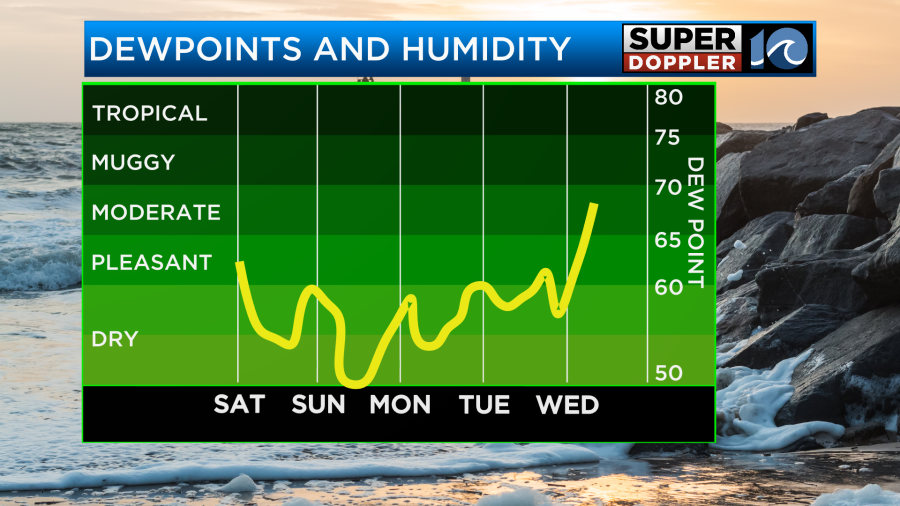
A weak area of low pressure will ride along the east coast late Wednesday and Thursday before a cold front moves through Friday. This unsettled pattern will bring us isolated to scattered rain showers Thursday and Friday, potentially into next weekend. We will also notice the return of some humidity. Temperatures will be a bit warmer in the low 80s.
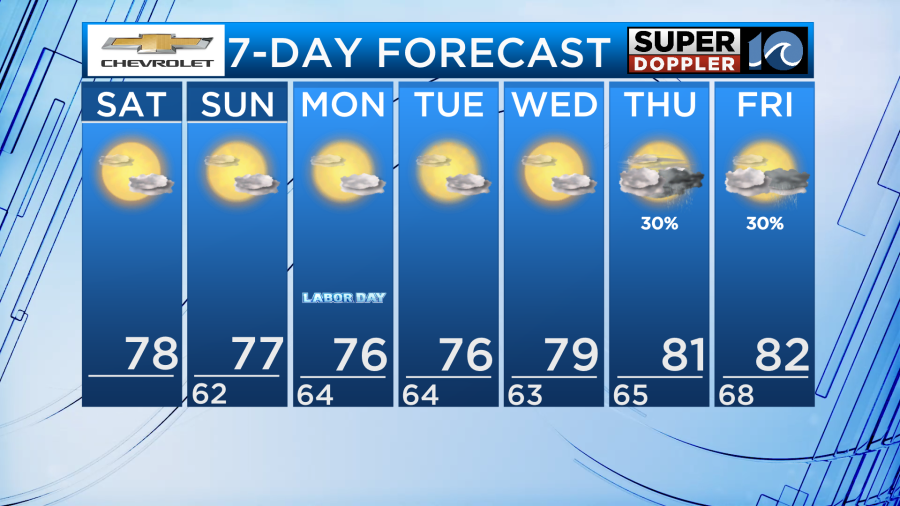
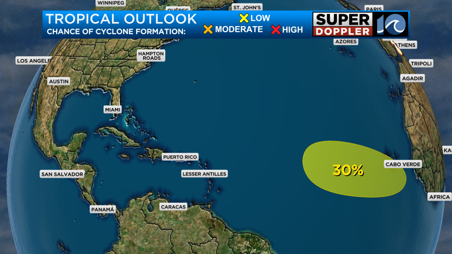
In the Atlantic, off the coast of Africa, there’s a disturbance that has a 30% chance of becoming something tropical in the next 5 days.
Have a great, safe Labor Day weekend!
– Meteorologist Kristy Steward


