Yesterday was as dry and chilly as I thought it would be for Christmas. I’ll admit… I like it chilly during the Winter holidays. There have been some years when we have been in the 70s or 80s, and it just didn’t feel right. (Some would argue). Anyway, today we’ll still be dry and chilly in our region. High temps will rise to the mid-upper 40s locally.
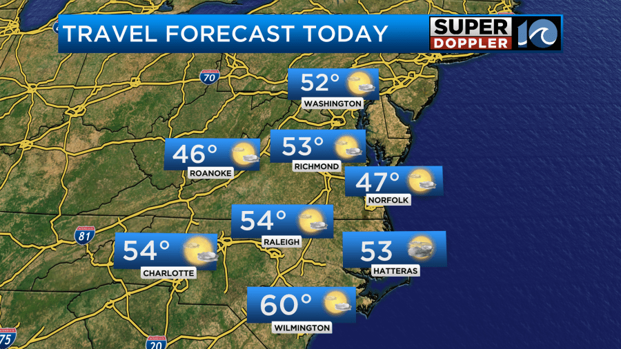
There will be a few 50s inland and south. We have a big area of high pressure parked to our north. There is a stationary front to our south with another one off to the west.
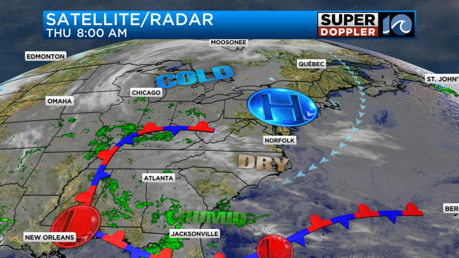
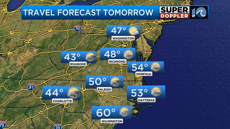
We’ll have a northeast wind that will keep the temps down today. However, it will at least keep the air dry at the surface. Overhead some increasing moisture will lead to a mix of sun and clouds through the day. It should be good weather for travel across the Mid-Atlantic and Northeast. However, there will be some rain over parts of the Deep South. There will be some snow showers over the mountain ranges in the Northwest.
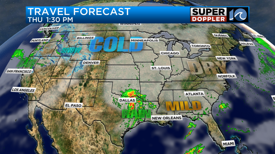
Tomorrow the rain will cover more of the Tennessee and Ohio River Valleys. The Mid-Atlantic will be mostly dry, but there will be some spotty showers to our west. There will be more snow in the west.
Locally we’ll have increasing cloud cover as the moisture starts to increase. We’ll have a light wind turning from the northeast to easterly. There will be some scattered rain showers to the southwest.
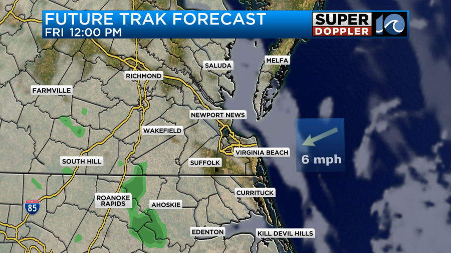
As they push into our area a lot of them will fall apart, but a stray shower or two may survive. The chance for rain is only about 10%. The bright spot will be the temps. We’ll warm up to the 50s over most of the area.
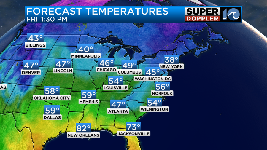
That’s nothing compared to the very warm temps across the Gulf coast.
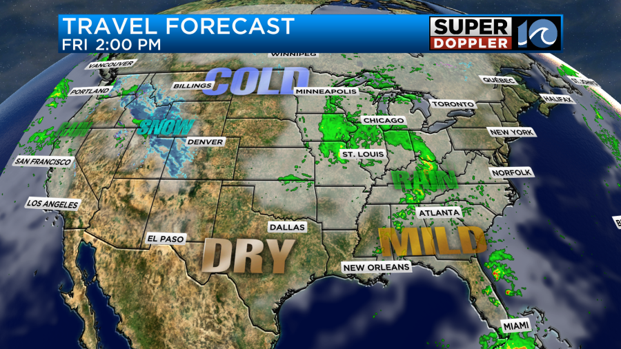
Tomorrow the heat will actually be building over the country, but it will build even more and spread east by the weekend.
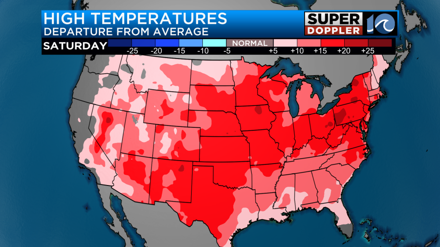
This is going to affect our region as high temps will rise up into the 60s.
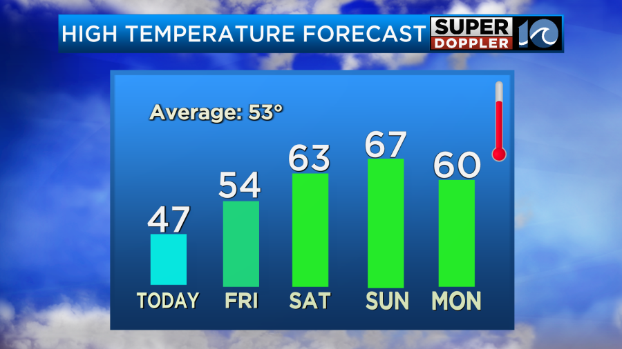
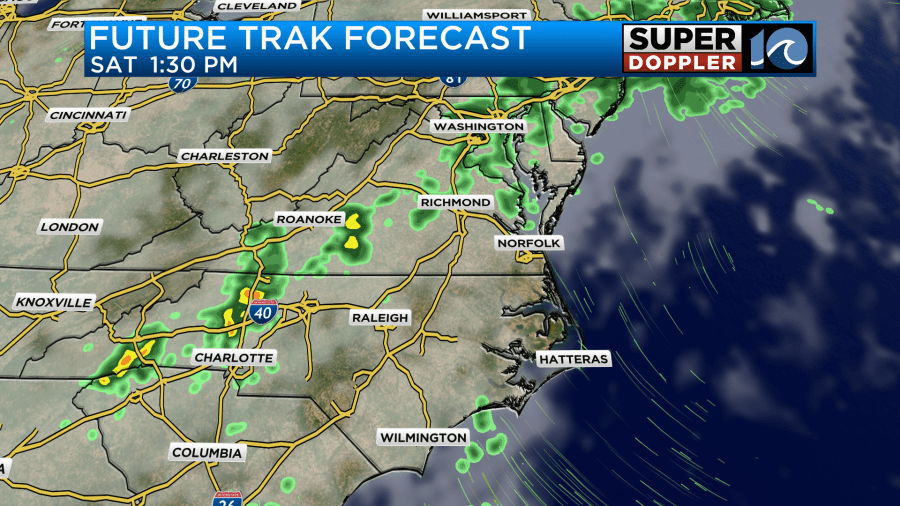
Some models suggest we’ll warm up even more than that. Could we hit 70? We’ll see. Either way a warm front is forecast to move to our north Saturday. However, there will also be a lot more moisture moving into the region. So we’ll be mostly cloudy on Saturday, and a few rain showers will be possible.
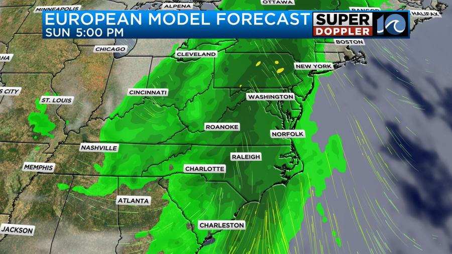
The rain chances will increase on Sunday as the moisture deepens even more. It will be warm, but there may be a lot of rain by the end of the day.
The highest chance for rain will be Sunday night into Monday morning. That will be as a cool front swipes through the region. However, it shouldn’t cool us down much. I think we’ll be mild going into the new year. I’ll have more on that part of the forecast in tomorrow’s weather blog.
Meteorologist: Jeremy Wheeler


