Happy Saturday! Unfortunately the extreme heat and humidity has returned and is here to stay for most of the week ahead.
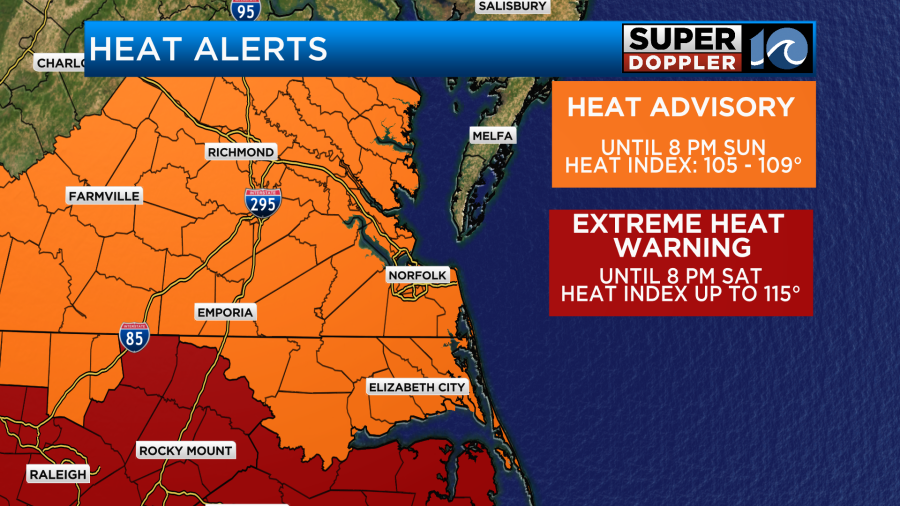
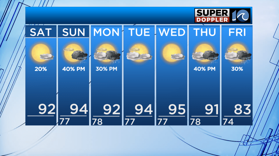
Saturday and Sunday will both have high temperatures in the low to mid 90s, feeling like 105-110°. For that reason, majority of the area is under a Heat Advisory until 8 PM Sunday. Dare county/OBX is under an Extreme Heat Warning until 8 PM Saturday as heat indices could reach up to 115°.
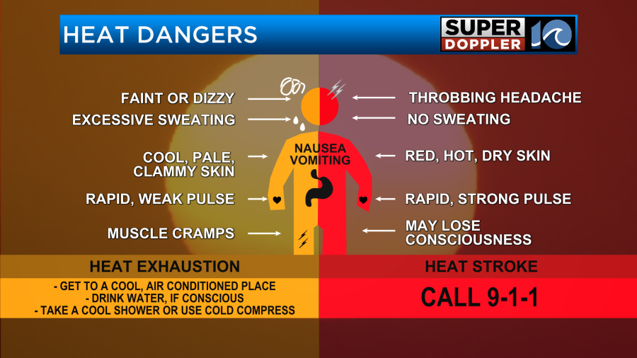
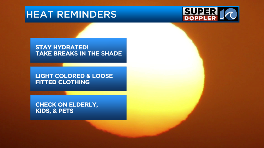
Stay cool and hydrated. Temperatures stay in the low to mid 90s, feeling like the triple digits until a cold front arrives late Thursday to provide some relief. Throughout this very hot stretch, it’s helpful to know the difference between heat exhaustion and heat stroke. Heat stroke is when the sweating stops and 911 needs to be called.
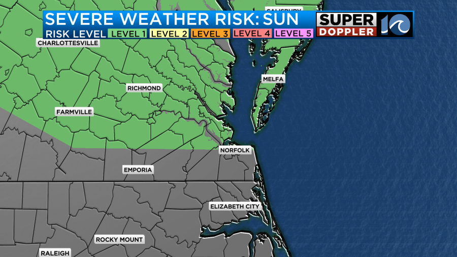
Could we see relief in the form of storms? Possibly later this weekend. Saturday a few stray showers could develop, but most areas look to stay dry. A front sags south and stalls over Hampton Roads Sunday. That will fire up scattered thunderstorms Sunday afternoon into the night. Our northern communities are under a level 1 of 5 severe risk. Damaging wind gusts are the primary concern.
As that front lifts back north and a disturbance is in the region, we could have isolated showers and storms Monday afternoon. The next greatest rain and storm chance will be Thursday afternoon into Friday as a powerful cold front passes through. The cold front will cool us down to high temperatures in the low 80s Friday and should lower our humidity to give us at least brief relief from this high heat and humidity again.
Stay safe in this heat and enjoy the weekend!
– Meteorologist Kristy Steward