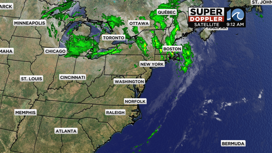
In the wake of last nights cold front our skies have cleared out in time for a beautiful Wednesday and as we go through the next few days rainfall will be hard to come by. This weekend will be a busy one for fall activities and college homecoming football games and it really looks like Mother Nature will cooperate with us.
For the day today, dry air continues to fill on on the backside of last nights front. We will also be on the south side of a large upper level system across the Great Lakes. This will allow for a breezy west wind to develop allowing for dry air to be in place.
Winds at times may gust to around 25-30mph across the Eastern Shore and into the Peninsulas. For the southside and North Carolina it will be a bit lighter.
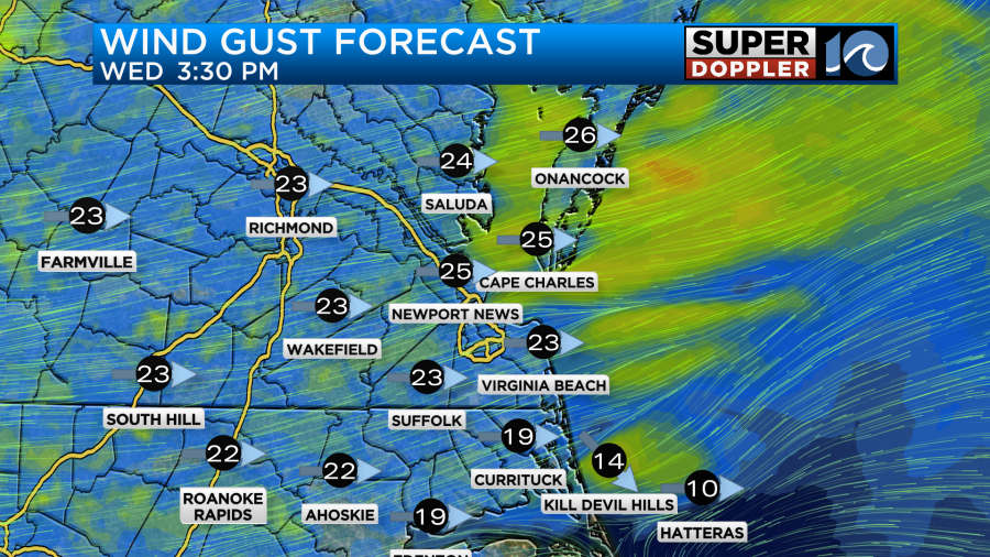
With the dry weather and gusty winds in mind its important to keep in mind fire safety. If you plan on burning things in the backyard or in your home firepit make sure you are always monitoring the burn and make sure to thoroughly put the fire out when you are done.
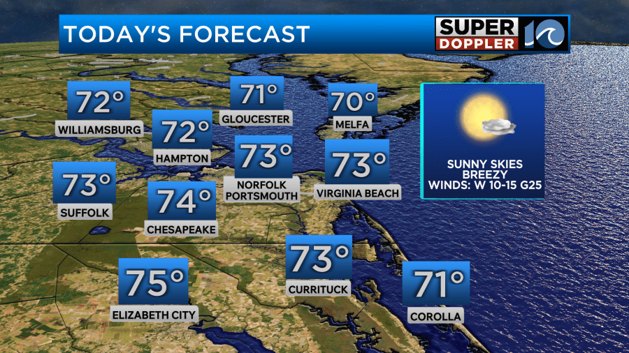
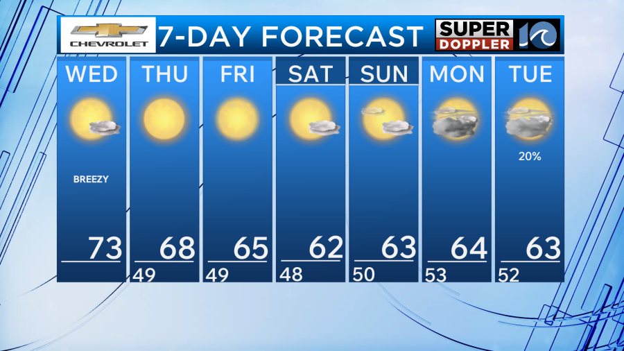
As for high temperatures, most will be in the lower 70s but some inland spots may make it to the middle 70s. It will be a comfortable day with the warmth thanks to low dew points.
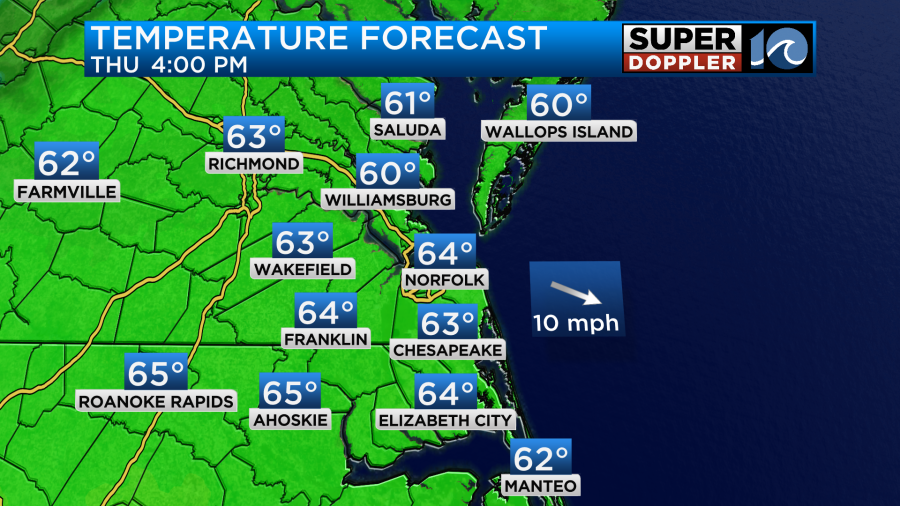
Heading through the next few days our winds will switch directions and allow for temperatures to drop. It all starts overnight tonight, winds will turn northwest and wind down. Low temperatures will be able to fall into the upper 30s to lower 40s in many areas. Then, for our Thursday the sunshine returns but winds stay steady out of the northwest. This will make for high temperatures in the lower and middle 60s which is below normal for this time of year.
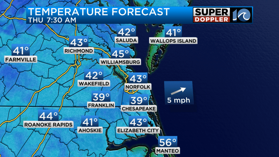
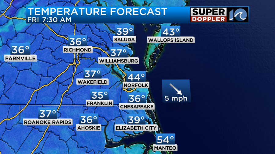
On Friday morning, it will be even cooler with morning low temperatures in the middle and upper 30s in a few isolated spots. These areas may have to look out for a bit of frost early before the sun rises.
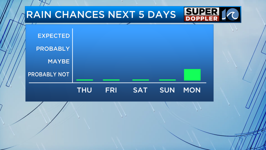
Heading through the weekend our weather remains on the cooler side with highs in the low 60s and lows in the 40s. We stay dry as well with no chance for rain until early next.
Now, lets talk tropics. Tropical Storm Melissa formed yesterday and it’s forward speed has reduced drastically. Strengthening is expected over the next few days as it moves over very warm waters. Melissa will likely become a hurricane by the weekend near the island of Jamaica. After that, models are still very uncertain as to where the system goes so stay tuned for updates.


Have a nice day!
-Meteorologist Brian Michigan