We are still stuck in this mid-late Summer weather pattern. So this weather blog is going to be very similar to ones in the recent past. First…A recap…
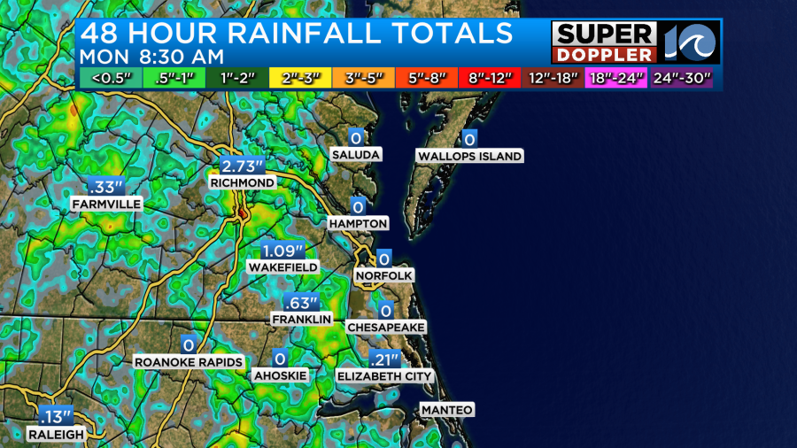
Yesterday we did have some heavy rain over some of our inland locations. It was really coming down for a while in places like Suffolk and Gates county.
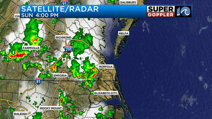
Some places inland picked up about 1-3 inches. However, along the coast and over the metro the rain was pretty sparse.
It was another hot and humid day with high temperatures in the upper 80s to low 90s.
There’s still no big surface features in the region. We have high pressure offshore with a stationary front to our northwest.
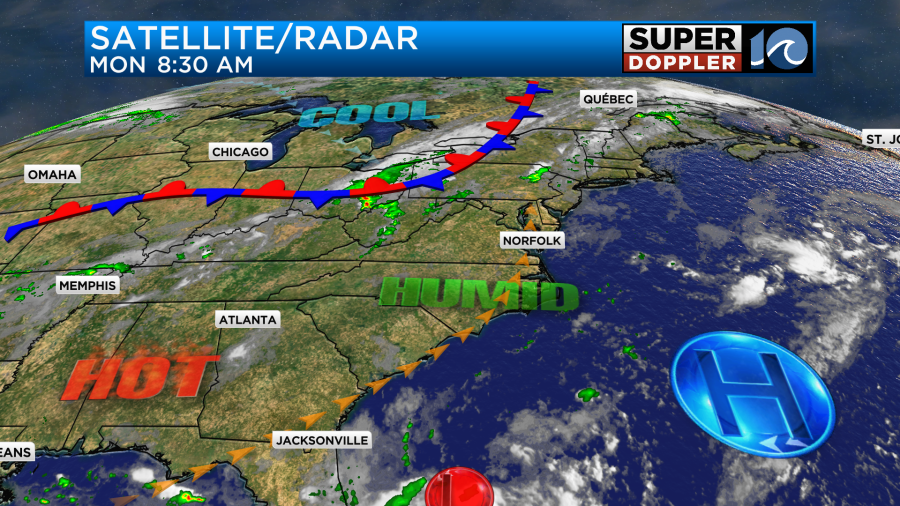
There is a weak area of low pressure far to our south, but we’ll talk more about that in a moment.
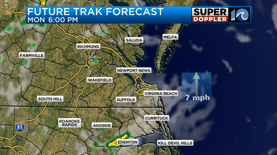
Today we’ll be partly cloudy with scattered showers and storms firing up in the afternoon.
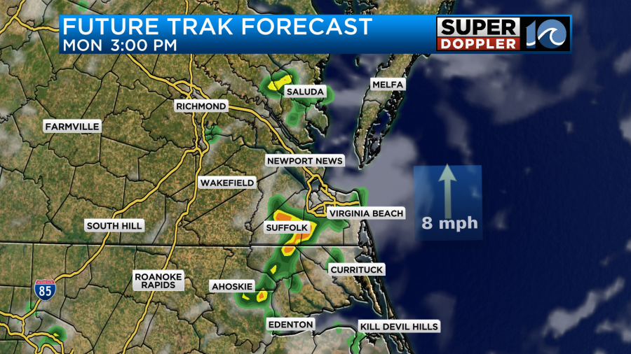
The storms will probably be closer to the metro today. There may be some isolated heavy downpours. The scattered storms will continue into the evening.
High temps will aim for the upper 80s to low 90s. The heat index will be in the upper 90s to near 100.
Some locations may get a brief cool down if the thunderstorms happen there.
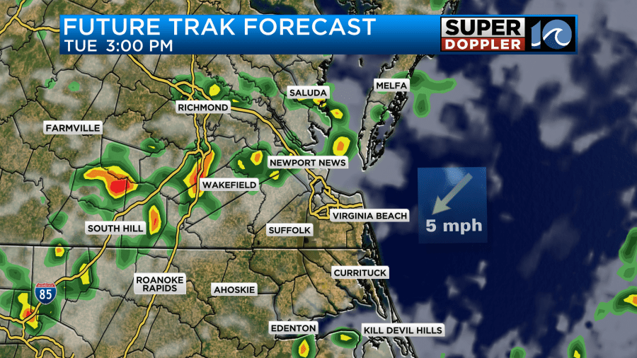
Tomorrow we’ll have similar weather. Temps and heat indices will be about the same. We’ll have some scattered storms in the afternoon again.
Later this week temps are expected to rise some more. Rain chances may drop a bit.
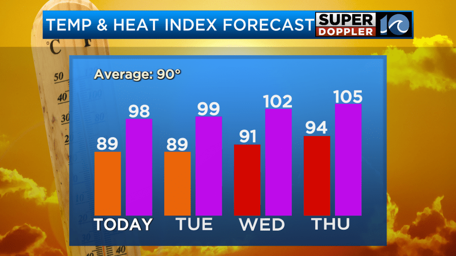
The heat index may be around 105 by Thursday. That could prompt some Heat Advisories. There’s basically no big breaks from the heat and the humidity over the next several days. Hang in there!
In the tropics… We are watching a weak area of low pressure (mentioned above) down to our south over the western Atlantic. That low is forecast to move over the Florida peninsula. Then get into the Gulf of America. At that point it has a low chance of formation.
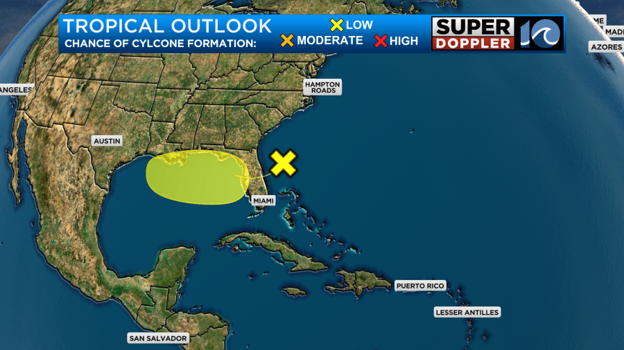
We’ll keep an eye on it and track it over the next few days. The last thing we need is for it to form and move towards Texas. Hopefully, that does not happen.
Meteorologist: Jeremy Wheeler


