BREAKING NEWS: Hurricane Erin turned into a Category 5 hurricane Saturday with maximum sustained winds of 160 mph before reverting to a Category 3 storm Sunday morning. As of late Sunday night, it had intensified to a Category 4 storm, with maximum sustained winds of 130 mph, according to the National Hurricane Center.
We continue to closely monitor Hurricane Erin. While current forecasts keep the storm offshore, conditions can change quickly. Virginians along our coast should stay alert and follow updates for possible changes in its path.
Gov. Glenn Youngkin
Happy Saturday! We have a great weekend in store and nice weather for much of the week ahead. We’re still tracking Hurricane Erin in the Atlantic.
High pressure keeps us dry with a mix of sun and clouds this weekend. Higher humidity sticks around, but temperatures won’t be unbearably hot. Highs Saturday in the low to mid 80s. A little warmer Sunday in the upper 80s.

We do have breezy 10-15 mph northeast winds Saturday, so that is bringing us a moderate rip current risk at the beach.

Next week, a cold front will begin to approach Hampton Roads Monday, but stall just north of us until Erin passes through in the Atlantic. Then, the cold front will finish passing through early Thursday. With a stationary front in our vicinity, we could see a few stray showers, but most areas should remain dry the first half of the workweek. Each day will have a mix of sun and clouds as well as high temperatures in the mid 80s. Wednesday could be breezy.
Around the cold front Thursday and Friday, expect isolated to scattered showers and a few storms. Temperatures will be a little cooler in the low 80s.

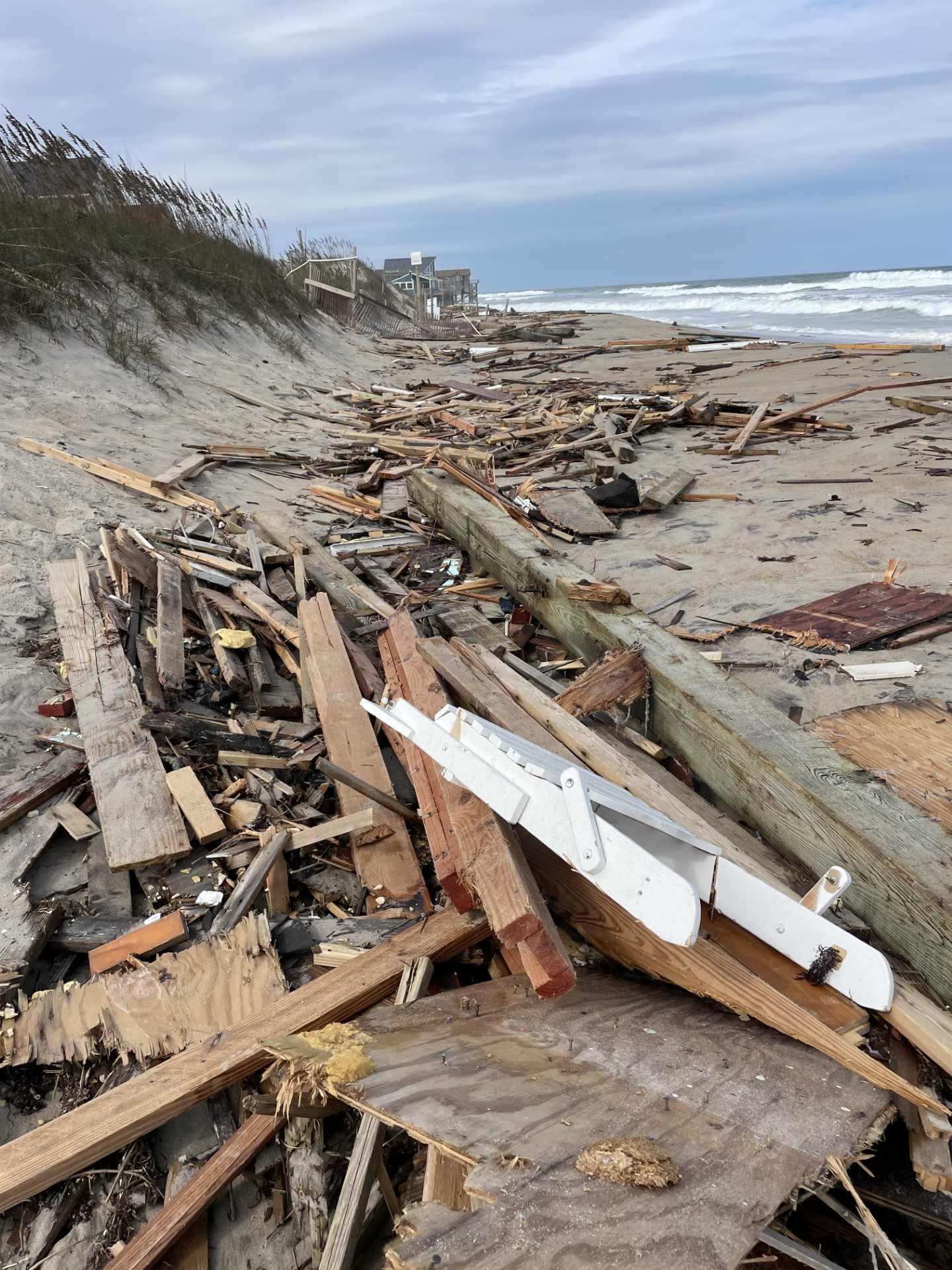
Later in the week is also when we can expect some impacts from Hurricane Erin. The good news is the storm is expected to stay in the Atlantic. However, we will still see a rough surf and ocean overwash. We could also see tidal flooding. Breaking waves are looking to be around 5 to 10 feet, which will be nice for the East Coast Surfing Championships this week.

Hurricane Erin is currently 120 miles northeast of Anguilla in the Leeward Islands. It has 145 mph sustained winds, putting it at Category 4 status. Erin rapidly intensified overnight. There isn’t anything in Erin’s way, so it is expected to keep strengthening a bit more over warm waters and moist air with little wind shear. It will stay in the Atlantic and eventually turn north, likely tracking somewhere between Bermuda and here, but not expected to make landfall or come close to us. Again, even though it will be a ways away in the ocean, it will still bring us trouble in the water and could bring gusty winds depending on its exact track. We’re continuing to keep a close eye on Hurricane Erin for you and will keep posting more updates.

In the meantime, enjoy the pleasant weather we have this weekend!
— Meteorologist Kristy Steward


