Good Sunday morning! Our stormy pattern sticks around for the week ahead. Later in the week, temperatures will be back on the rise.
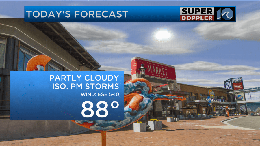
Today’s another typical summer day across Hampton Roads. Sunshine and dry weather this morning will turn into afternoon pop-up storms. Not everyone will see rain, but if you do, it will be heavy rain. This does bring up a flooding concern. With our already saturated ground, these stationary storms that have a lot of moisture will just need to rain themselves out and could dump 2-4″ of rain in localized areas. This could lead to flash flooding.
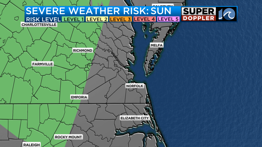
While we are not technically under a severe risk, a level 1 severe risk is knocking on our door step and storms don’t stay confined to these boundaries. So, I wouldn’t completely rule out the chance to see an isolated severe storm this afternoon. If we do, the main concern is heavy rain leading to flash flooding, but strong damaging wind gusts are also possible.
Outside of isolated to scattered storms today, we’ll have a mix of sun and clouds. High temperatures will reach the upper 80s and it’ll be muggy.
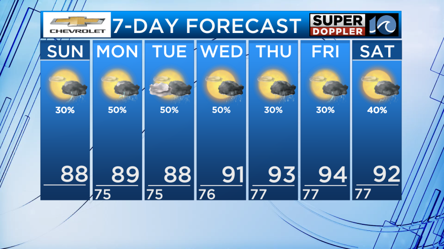
Much of the same weather continues this entire week. Isolated to scattered showers and storms, primarily each afternoon into the early evening hours. When you do see rain, it will pour. Watch for localized flash flooding in those instances. No single day will be a washout and each day will feature some sunshine. Just keep an umbrella close by in case you come across a pop-up storm.
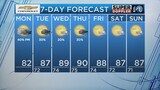
High temperatures this week start in the upper 80s. By Wednesday, the low 90s return and we gradually climb into the mid 90s to end the workweek on Friday. With air temperatures in the 90s and dew points remaining in the mid 70s, we’ll feel-like the triple digits the second half of this week.
Stay cool, hydrated and dry this week!
-Meteorologist Kristy Steward