It started up yesterday. We had some sprinkles and a few showers move into the area. Then more and more light precipitation started to move through. It was a very welcome sight. We had more rain showers over parts of the area last night. Though the showers were all light.
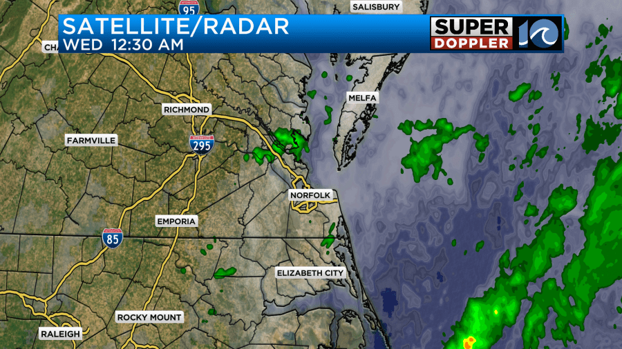
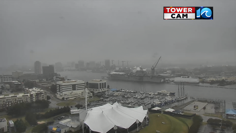
The light rain and drizzle continued this morning on and off. It caused a lot of problems on the roads.
I’m happy to report that we picked up a couple of tenths of an inch of rainfall over the past 24 hours. A couple of spots even had about three tenths of an inch.

Norfolk had about 0.28″ at the time of this writing. Normally, I would say “Whoop De Doo”. However, it has been weeks since some areas have had measurable rainfall. Some of the trees have started to lose a few leaves due to drought stress. So this rain is very welcome for many.
Also normally, I would say that today’s weather will be miserable. Cloudy, wet, cool, and breezy. However, I am really glad we got the rainfall. The air even felt a little cleaner this morning as I headed to work.
Anyway, the causes of the rainfall are an area of low pressure offshore along with a stationary front.
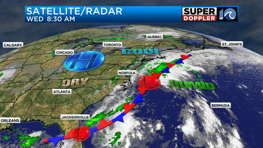
High pressure is still to our northwest, and we still have a northeast breeze. However, the low is pushing moisture to the west onto the east coast. This cool marine layer will bring us cloudy skies through the day. We’ll also have on and off showers and drizzle through the day.
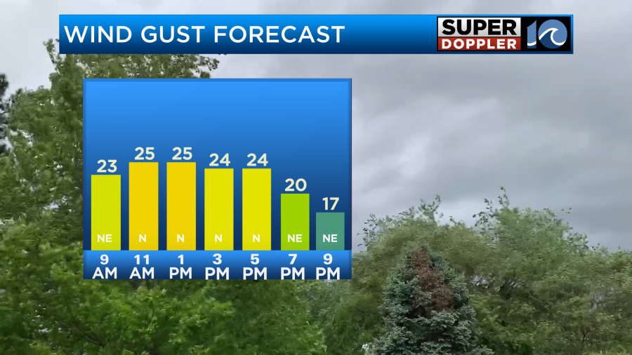
Winds will gust out of the northeast at 20-25mph through the day as well.
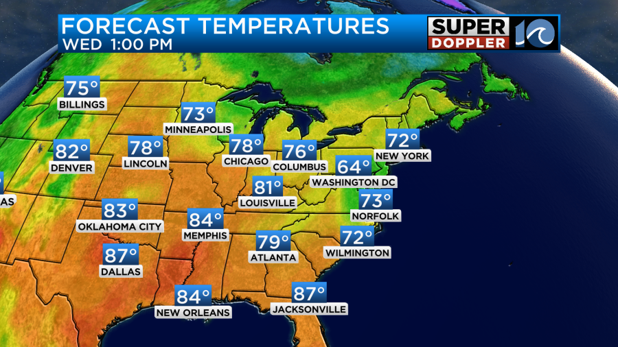
This will keep out high temperatures down in the low 70s. There may be a few mid 70s inland and south.
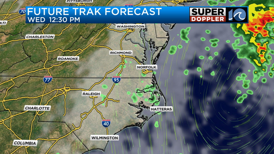
The clouds, showers, and drizzle will continue overnight into tomorrow morning.
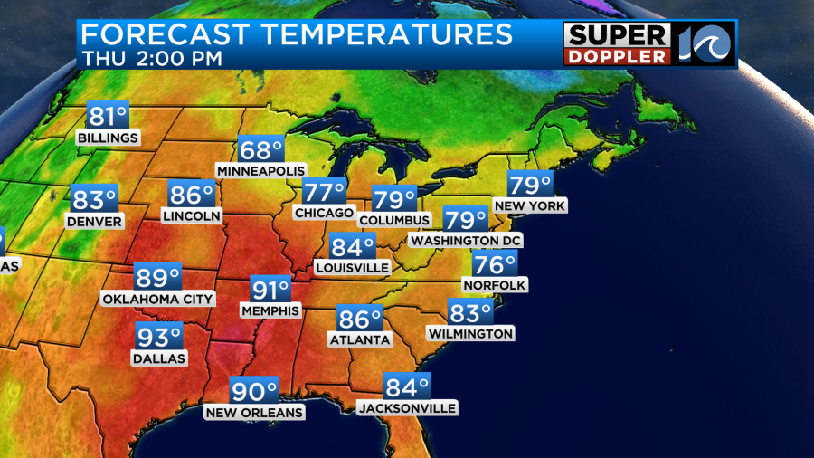
As we go through the day the low will kick out to sea, and drier air will slowly filter in from the north. We’ll have some gradual clearing. Winds won’t be as strong out of the north/northeast. That should allow temps to warm up a little bit. We’ll be aiming for the mid-upper 70s.
Meanwhile, the heat will be building over the central U.S. They’ll be hitting 90s across the Deep South with 80s all the way up into southern Canada.
We should have some pretty nice weather as we head into the weekend. High pressure will build in a little stronger with the front sinking a little more to the south. We’ll be partly cloudy on Friday and Saturday with high temps in the upper 70s.
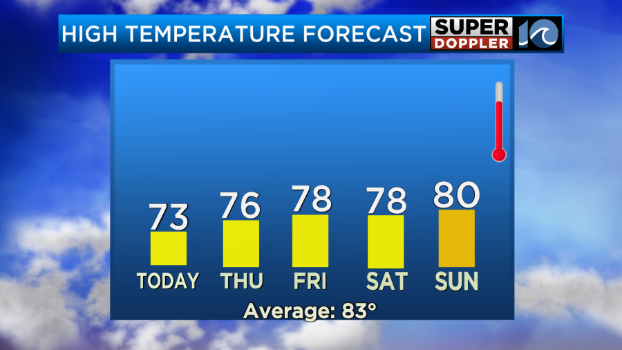
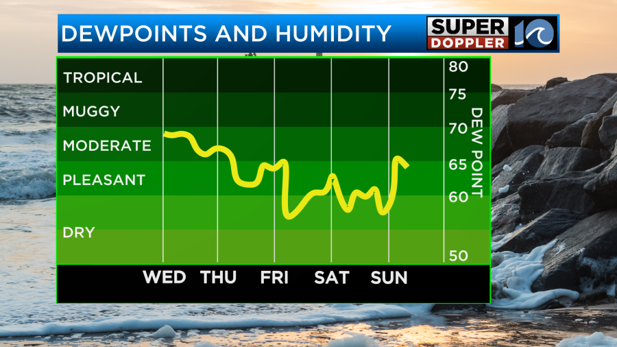
We’ll be mostly sunny on Sunday with high temps around 80 degrees. The humidity should also drop by the weekend. Great timing!
There will be some minor tidal flooding today and tomorrow during high tide. These will be around the midday hours.
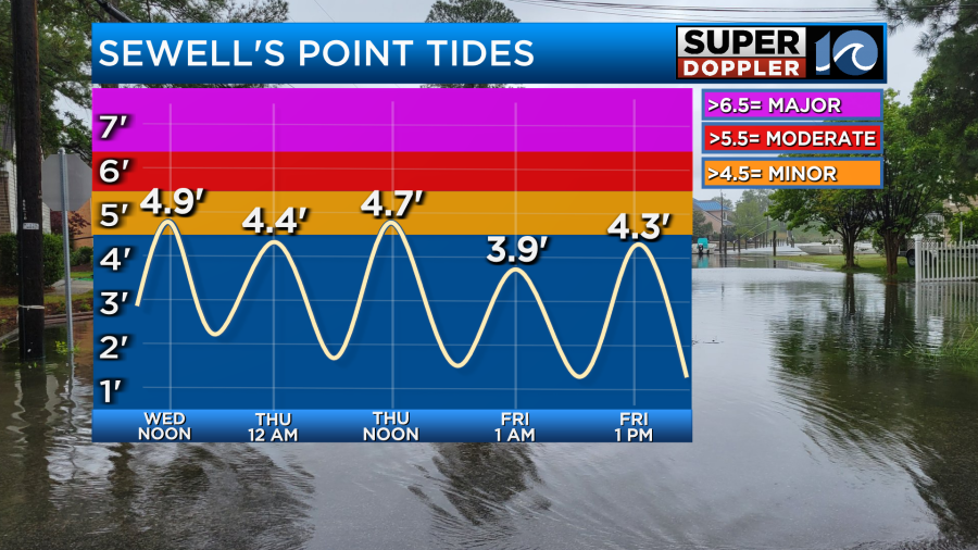
This shouldn’t cause too many problems by itself, but it could create some poor drainage for a while.
Things are still quiet in the tropics. With this cool pattern there is more wind shear over the Atlantic right now. So there probably won’t be any systems for the next few days. At least…
Meteorologist: Jeremy Wheeler


