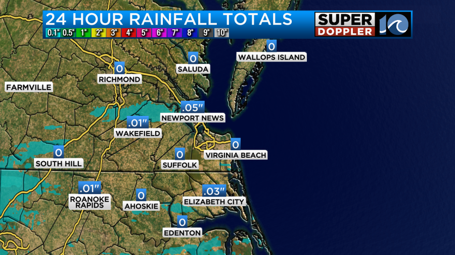
We had a wet start to Memorial Day with scattered rain showers during some ceremonies and parades. Luckily the rain was very light. It didn’t add up much in the rain gauges, but it wasn’t expected to.
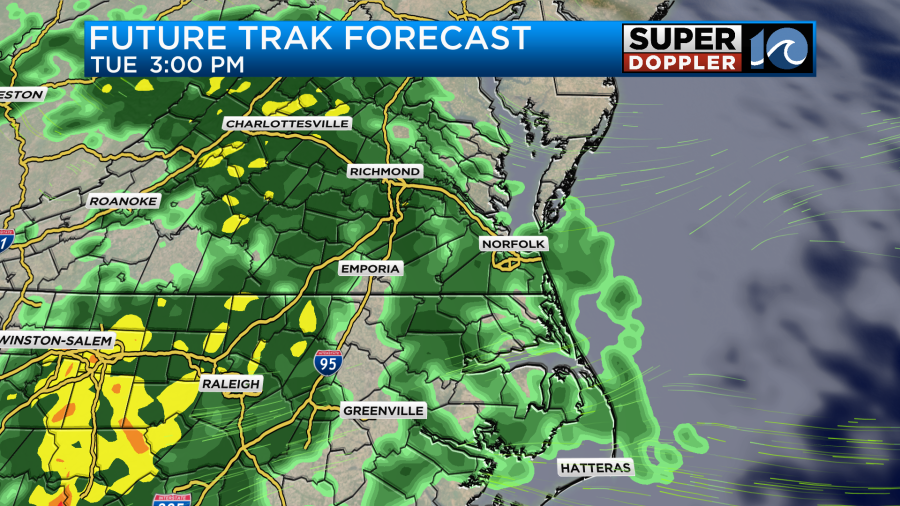
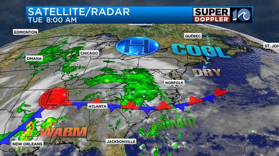
Luckily it moved out during the afternoon. However, today the rain showers will be INCREASING, and it will start to add up in the rain gauges. Like yesterday we have a stationary front to our south with lots of moisture pushing up overtop of the cool/stable air mass. We call that overunning.
There are subtle differences between today and tomorrow. The front will slide just a little closer to our area through the day. Plus, the high pressure area will edge north a bit. As mentioned, we’ll have an increasing chance for rain today. We’ll already have had a few showers by midday with more inland/west. Then we’ll have scattered to occasional rain showers during the afternoon.
At least the rain should be pretty light most of the day. It could be moderate in spots as we head into the evening commute.
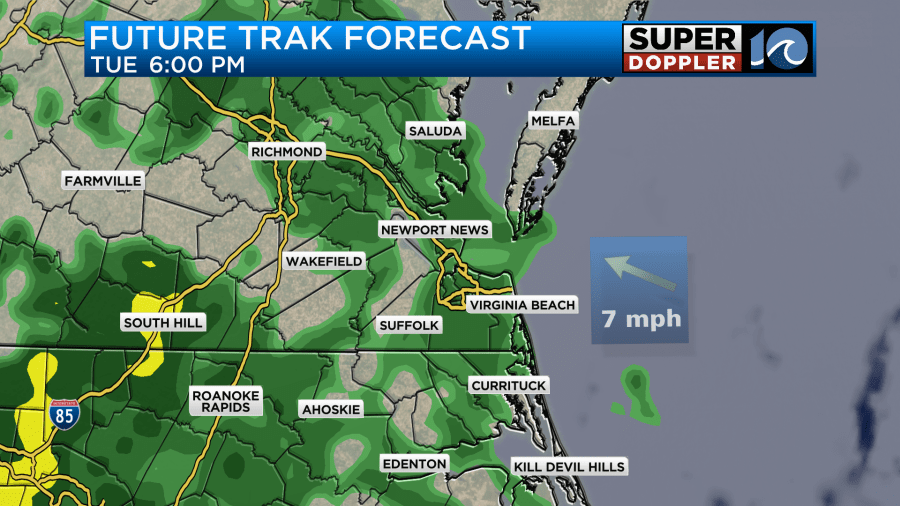
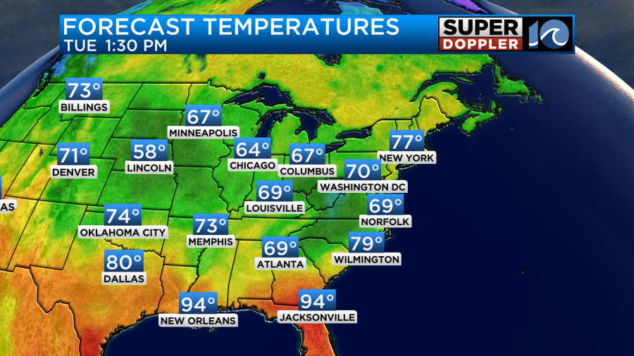
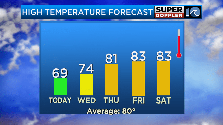
Winds will be out of the east/northeast at 10-15mph with a few higher gusts near the shore. This will all work to keep temperatures down again. We only topped off in the upper 60s yesterday. We’ll only make it to the upper 60s to near 70 this afternoon.
Tomorrow the front will come up as a warm front. It will get pretty close by the morning. Plus, the area of low pressure will be moving closer from the west. This will bring in a lot of rain which could fall during most of the morning commute.
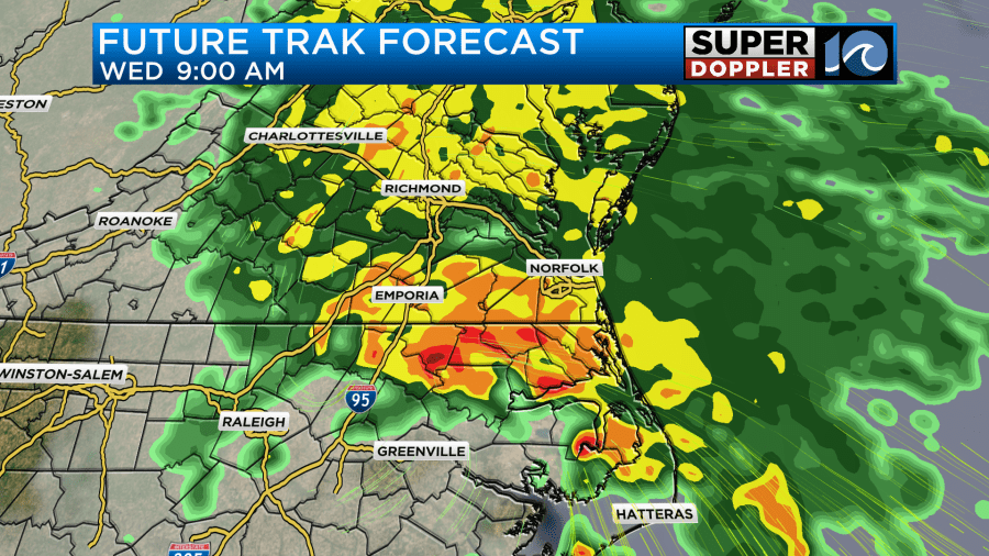
The rain will keep going through midday. It may be heavy at times.
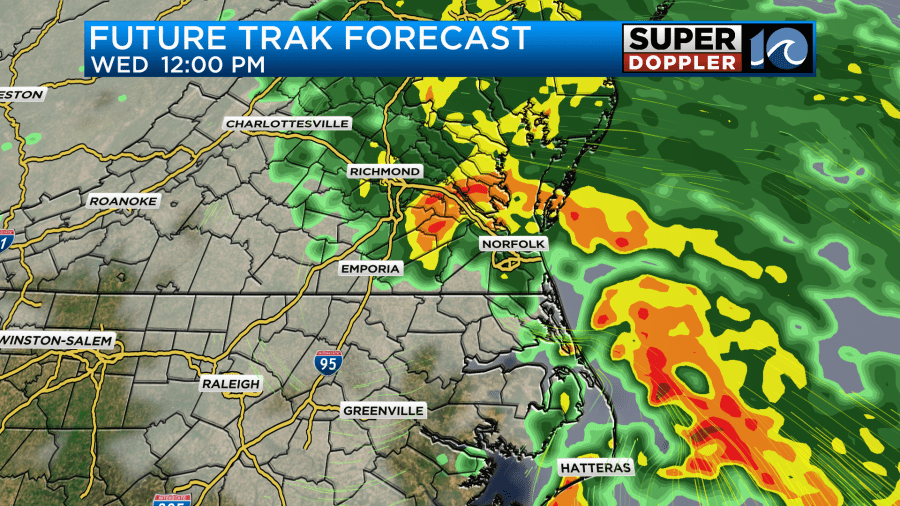
There will also be a few thunderstorms. As of this time I don’t think we’ll have severe weather, but a couple of strong storms will be possible. One of the reasons for this is that there won’t be a large upper-level low overhead like a few of the systems we’ve had recently. Either way rain should then taper off through the afternoon. There will be a breeze out of the southeast. Gusts will be up to 25mph. That should help to warm things up a bit. Highs will be in the low-mid 70s.
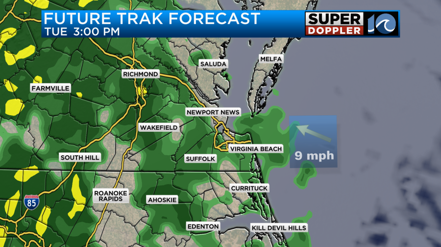
The rainfall forecast is a bit tricky as some of the models are still going big while others are trending down a bit. Here are 4 models:
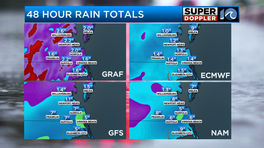
For now I’m siding with the higher amounts. I think we will have about 1-2″ with isolated higher amounts.
We’ll be in-between fronts on Thursday. So we should get a break. We’ll have a mix of sun and clouds with only some isolated showers in the region. High temps will be in the low 80s.
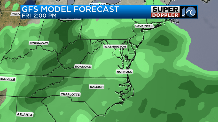
Then on Friday we’ll have another system moving in and bringing us more rain. It could be another very wet day.
High temps will be in the 80s. Then hopefully, we’ll dry out as we head towards the weekend. I’ll talk more about that in tomorrow’s weather blog.
Meteorologist: Jeremy Wheeler