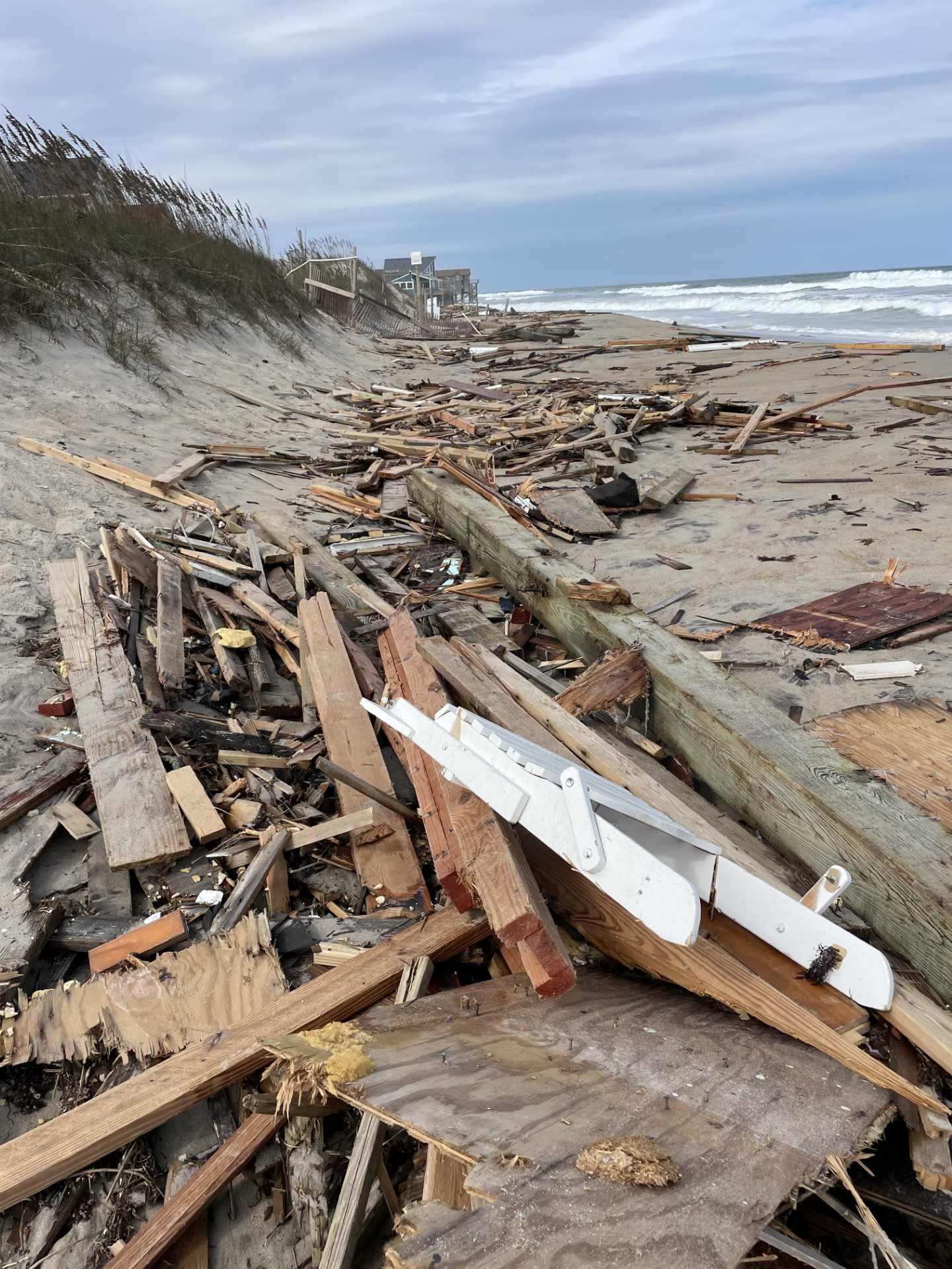
Good Saturday morning! Hurricane Erin is gone, but we still have a few lingering impacts today. A front brings us rain Sunday, then a high pressure system brings us a beautiful workweek.
In the wake of Hurricane Erin, we are still experiencing a high rip current risk in the Atlantic with 3-4′ waves today. We will also see nuisance tidal flooding with about a half foot of inundation at high tide 10 AM Saturday. This will only be impactful for our typical flood-prone areas. After this high tide cycle, tidal flooding won’t really be a concern anymore.

Today will be dry with gradually increasing clouds. High temperatures warm into the low 80s.

An approaching warm front will stall along the NC coastline Sunday and bring us scattered rain showers throughout the day. Not a washout, but keep some rain gear on hand Sunday. Outside of the rain and a few storms, expect a mostly cloudy sky and temperatures in the low 80s.
That stationary front exits as a cold front pushes through Monday. It will be a drier cold front, so only a few stray showers are expected around it Monday afternoon. Ahead of the front, temperatures warm into the mid 80s.
Behind the cold front, high pressure sets up near us and keeps us dry with plenty of sunshine the rest of the workweek. Temperatures will also remain below-average. Highs around 80° each day and lows in the 60s.

In the Atlantic, to the east of the Bahamas, there is a disturbance that has a 100% chance of becoming our next tropical system in the next 48 hours. The next name on the list is Fernand. Fortunately, this one will stay tracking north in the middle of the Atlantic.


Have a great day!
– Meteorologist Kristy Steward


