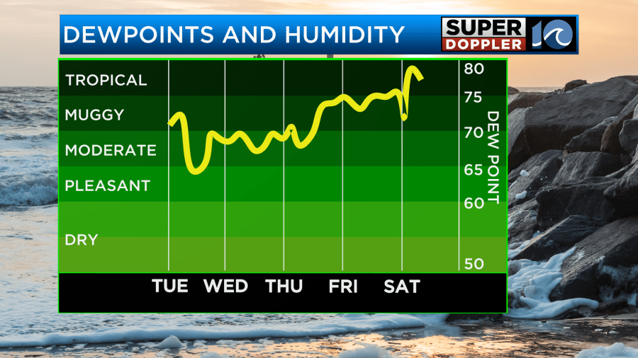
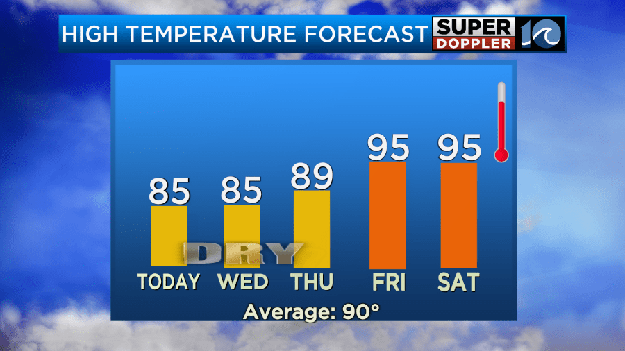
It finally made it here! Over the last 24 hours the humidity has dropped. Drier air has arrived. It’s not bone-dry, but it is much much better than the last couple of weeks. It will get even better today. The humidity will drop a little more as the dewpoints sink from around 70 to the low-mid 60s this afternoon.
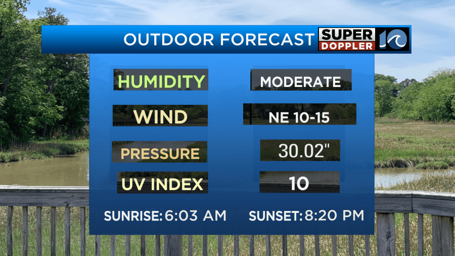
We started off with lots of sunshine this morning. We’ll have lots of sunshine through the day.

A cool front is stalling out to our south. High pressure is building in from the north.

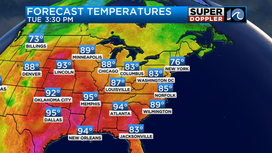
We’ll have a steady northeast breeze through the day. It will run at 5-15mph. High temps will run in the mid 80s with some upper 80s inland.
It will be great weather to head outdoors.
We’ll have similar weather tomorrow. Thursday will be a little warmer as the surface winds start to turn out of the southeast. High temps will be in the upper 80s to near 90. However, temps and humidity will spike on Friday. Highs will be in the mid 90s. The heat index will probably be back to around 105 degrees.
We’ll likely stay hot and humid over the weekend. There will also be a few scattered showers and storms during the afternoon. So it will be back to reality.
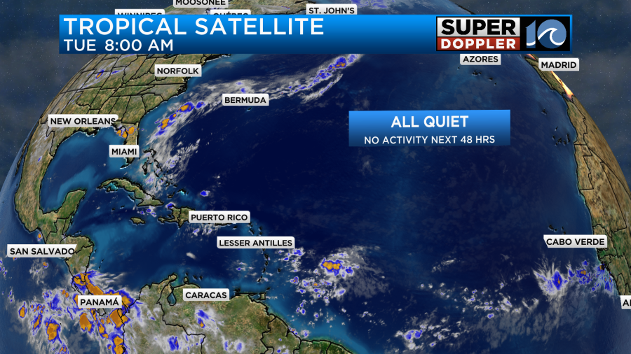
The tropical feature east of the Lesser Antilles now has a near zero chance of formation according to the National Hurricane Center. So no activity is forecast for the next 48 hours.
Meteorologist: Jeremy Wheeler


