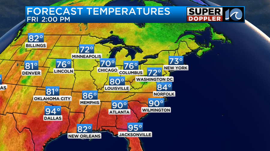
Yesterday was the last hot day that we’ll have for a while. High temps hit the mid 90s. The heat index was over 100. Cutting the grass was NOT fun. We then had heavy-duty showers and storms last night ahead of a cold front.
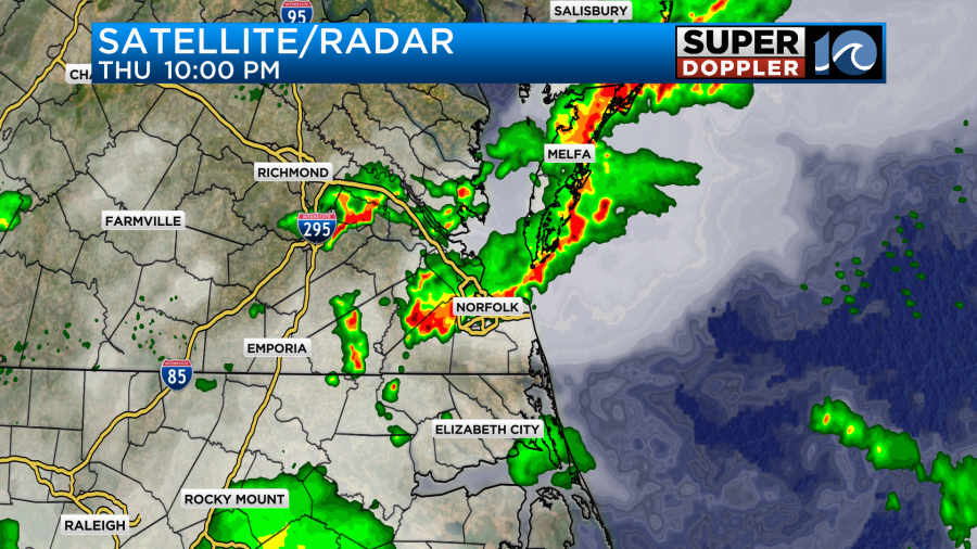
Some of these storms were severe with strong gusty winds. There were a few wind damage reports over the Peninsula.
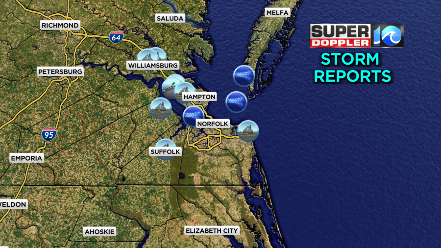
There was also some heavy rain and flooding. This was a photo sent in from Brenda in Newport News:

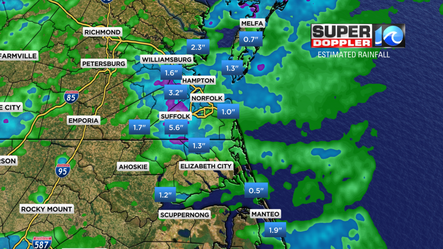
Rainfall was heavy in several inland locations. There was a swath of about 1-3″ between Suffolk and Newport News.
This morning the cool front was dropping to our south. There were a few showers re-forming along the front.
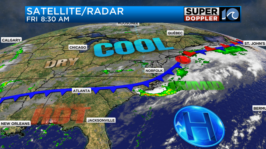
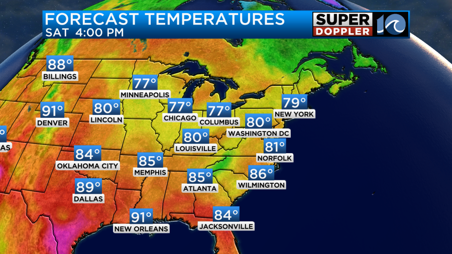
The front will continue to sink south today. It will be much cooler than yesterday. High temps will run in the low-mid 80s.
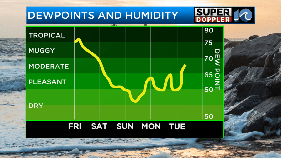
However, the humidity will take longer to drop. Dew points will drop to the 60s by the end of the day. We will have a north/northeast wind to help pull in the cooler/drier air mass. It will run at 10-15mph with gusts to 20mph.
We will have some scattered rain showers and drizzle at times.
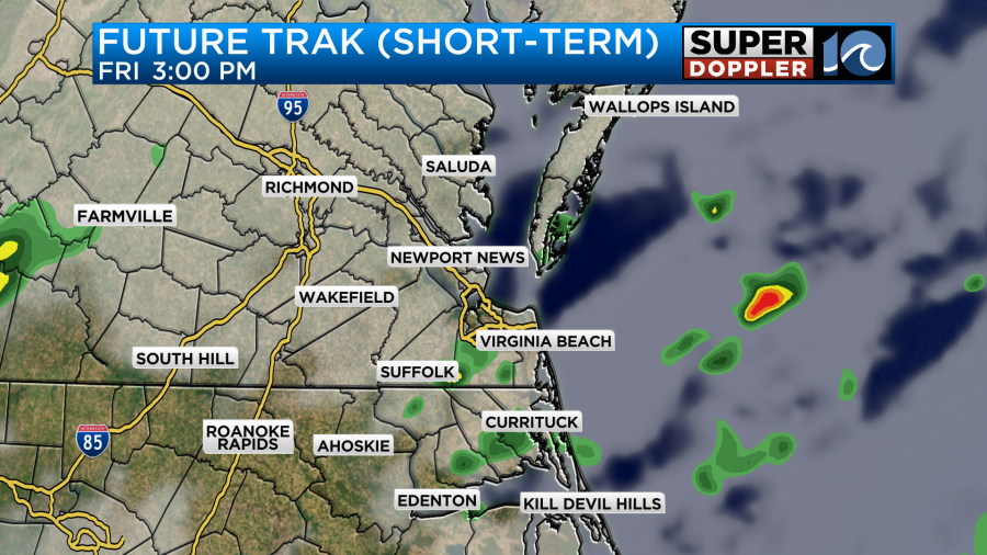
It won’t be a washout. I doubt we’ll have any thunderstorms except for maybe near the southern Outer Banks.
Now it may be a little confusing. Yes, drier air will creep into the region this evening, but it’s relative. There will still be some decent moisture in the air. There will be more scattered rain showers this evening and overnight.
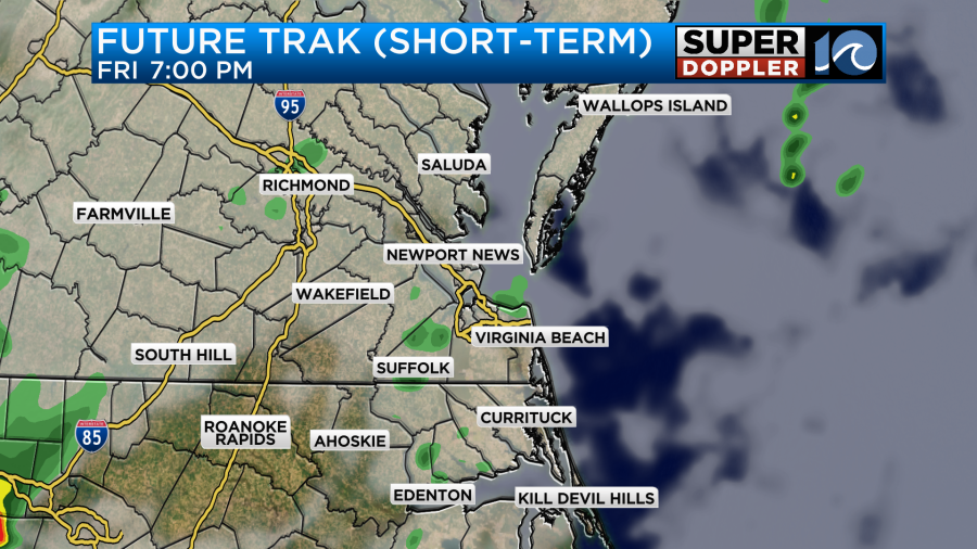
At least the drier air will really lighten up the precip tonight. It will probably be more drizzle than rain. Low temps will be in the 60s and 70s.
Tomorrow we’ll start with a few spotty showers and some clouds as the front briefly stalls. However, the front will start to push south again during the afternoon. That will really allow the dry air to kick in.
It should feel really nice by tomorrow afternoon. We’ll be partly cloudy, high temps will be near 80 degrees, and it will be much drier.
The breeze will still be up out of the northeast. Gusts will be up to 25mph.
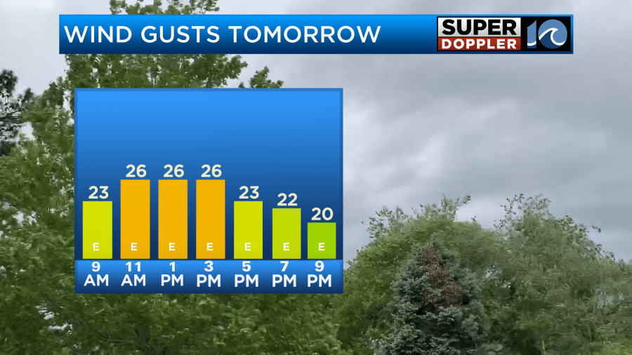
While the cool down will be very welcome. Folks at the beaches may find it a bit too cool when the breeze blows. Also, there may be an increased risk for rip currents. So this may not be the best beach weekend. Hopefully the breeze will drop a bit by Sunday. We’ll see. High temps will be near 80 again.
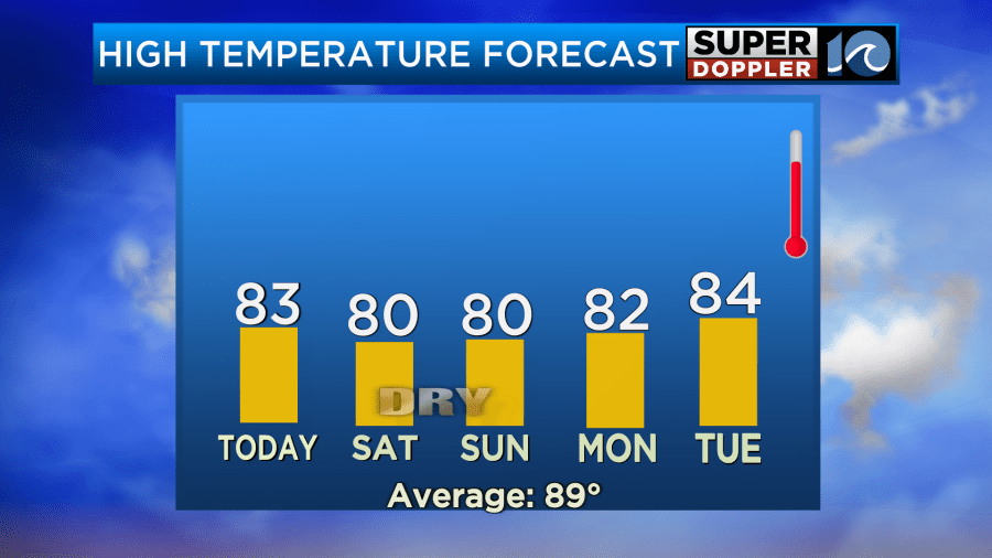
It may be cool enough and dry enough that you’ll be able to open up the windows for a time and let the fresh air in. Low temps will be in the 60s and 70s between Sunday and Monday. It’s possible that there could be a couple of upper 50s far inland. No complaints here. We should stay fairly cool going into early next week. Enjoy the break from the heat!
Meteorologist: Jeremy Wheeler