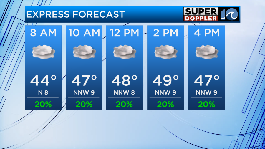
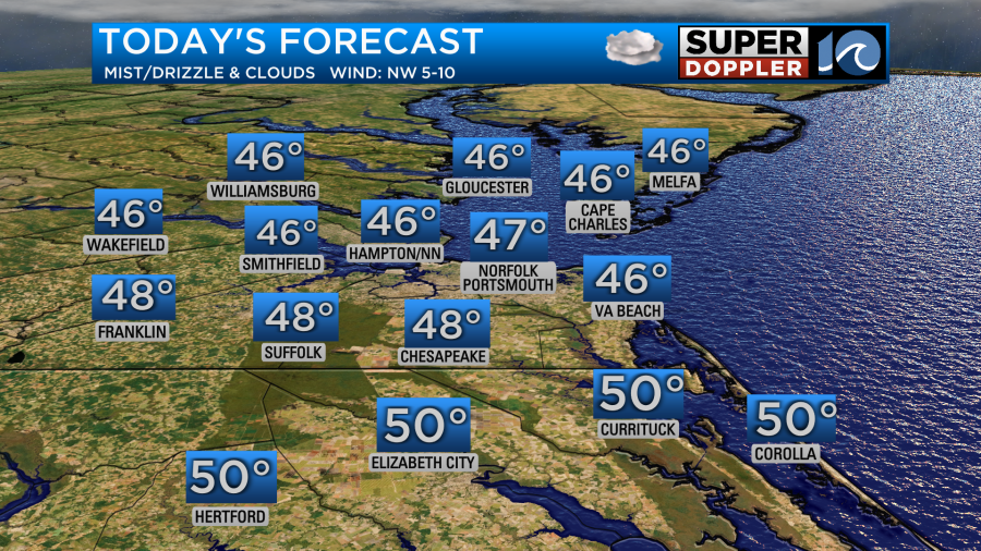
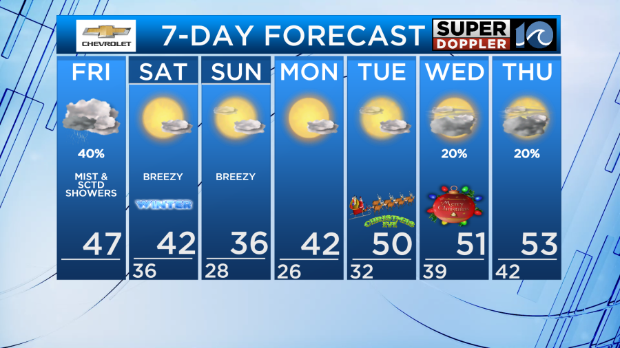
Low clouds, mist and drizzle is possible through the morning through the early afternoon hours. Best chances in NC and spots further east. If we’re lucky, there may be some sun peaking out by the afternoon with highs in the upper 40s.
Colder air gets reinforced by Saturday and it becomes a much brighter weekend, but much colder! Highs should be pinned in the 30s & low 40s both Saturday and Sunday, with morning lows in the 20s. It will be breezy, with winds out of the north at 10-15 with some gusts to 25 mph.

There is a chance for some light snow showers on the Eastern Shore Saturday night. Not expecting much in terms of accumulation, but don’t be surprised if you see some flurries! A few bay-effect flurries will also be possible Sunday. Not widespread, but a few could pop up just to add a bit of excitement to the cold!
It stays seasonally cold for early next week ahead of the Christmas holiday, meaning there should be a chill in the air for Christmas Eve night. Temperatures for midnight services will be around 40°F. For Christmas Day, we’ll see partly to at times mostly cloudy skies, with a small chance for a shower or two especially late in the day. Highs in the low 50s.
Meteorologist Ricky Matthews
Follow Ricky on Facebook and Twitter


