
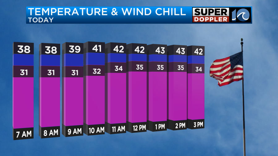
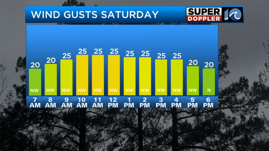
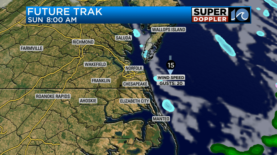
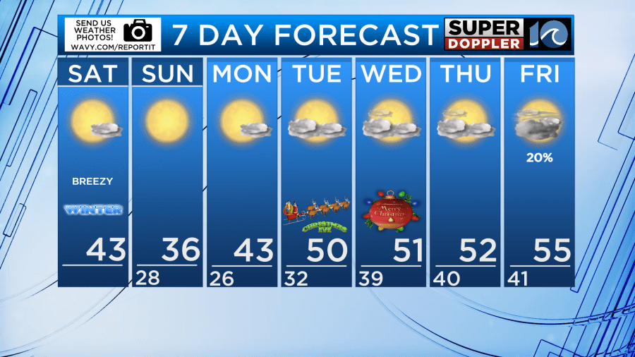
Cold air gets reinforced for the weekend! Saturday will be a much brighter and colder day. Highs will end up in the 30s & low 40s region wide. A bit of a breeze out of the northwest will make it feel like the 30s for most of the day. By Sunday morning lows will be in the 20s, with highs only in the 30s!
There is a chance for some light snow showers on the Eastern Shore Saturday night. Not expecting much in terms of accumulation, but don’t be surprised if you see some flurries! A few bay-effect flurries will also be possible Sunday. Not widespread, but a few could pop up just to add a bit of excitement to the cold!
It stays seasonally cold for early next week ahead of the Christmas holiday, meaning there should be a chill in the air for Christmas Eve night. Temperatures for midnight services will be around 40°F. For Christmas Day, we’ll see partly to at times mostly cloudy skies with highs in the low 50s. A warming trend occurs towards the end of next week, with temperatures climbing into the mid 50s during the afternoon.
Hope you have a great weekend!
Meteorologist Ricky Matthews
Follow Ricky on Facebook and Twitter


