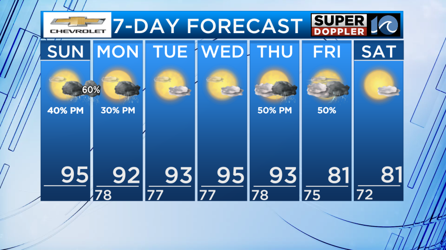
Good Sunday morning! If you didn’t like how hot yesterday was, you’re not going to like today. Temperatures will be even hotter. Thunderstorms return to us later today too.
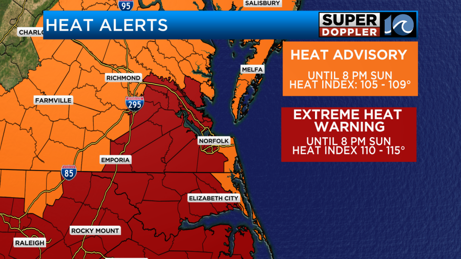
Most of the area is under a rare Extreme Heat Warning where heat indices will be 110-115°. Locations right on the water including the Eastern Shore, Virginia Beach, and the Outer Banks are under a Heat Advisory where heat indices will be 105-109°. Either way, it will be very hot across Hampton Roads and northeastern NC today.
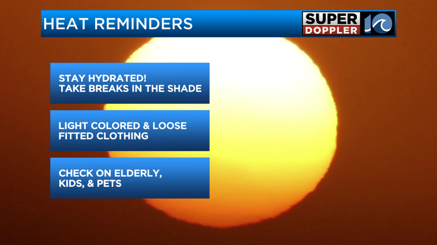
Try to stay in the A/C during the hottest part of the afternoon or at least in the shade or in the water if you’re going to be outside.
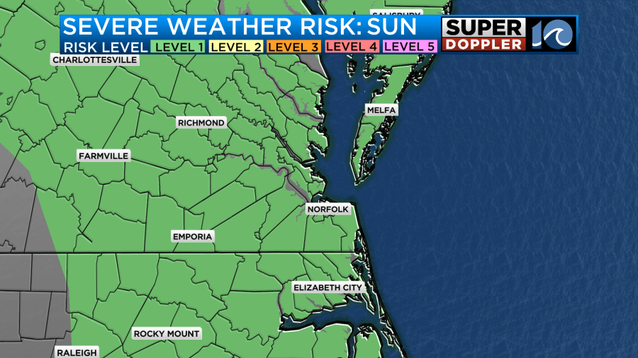
A warm front lifts north today, firing up some thunderstorms later in the day. Isolated activity this afternoon becomes scattered this evening into tonight. Some storms could become strong to severe. We are under a level 1 of 5 risk for severe storms today. Damaging winds are the primary concern.
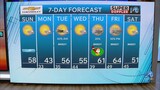
The beginning of the work week will be a little cooler, but still very hot. High temperatures Monday and Tuesday in the low 90s, feeling like 100-105°. A few spotty showers are possible Monday afternoon, but most areas stay dry until a cold front heads our way Thursday.
Thursday evening through Friday we’ll have scattered thunderstorms around a passing cold front. This cold front will cool us down from the mid 90s to the low 80s. We get to stay cooler for next weekend and enjoy the cooler air with plenty of sunshine.
Try to keep cool until we get relief at the end of this week.
– Meteorologist Kristy Steward